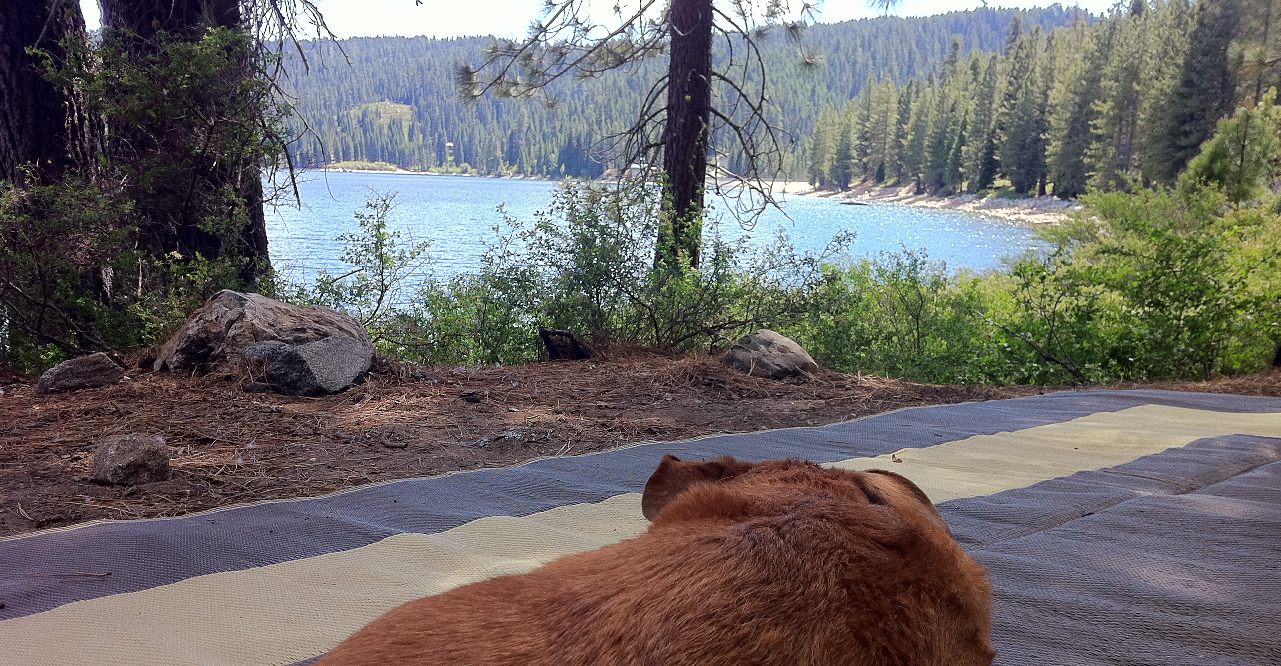
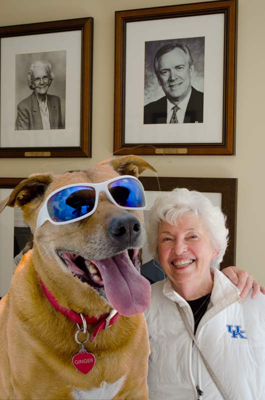
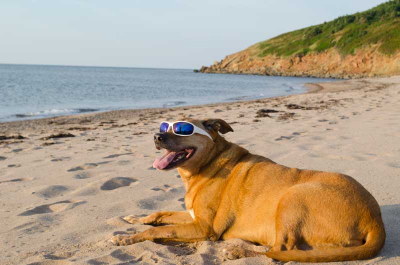
We didn’t know if we would continue the blog after losing its author and adventurer extraordinaire… Ginger. But then Utah happened.

© 2014 Richard Broadwell – Boondocking in Grand Staircase Escalante
And the blog just didn’t seem complete without a post about our wonderful adventure there, even if our best buddy isn’t with us anymore except in spirit.
In the 3 years we’ve been on the road full-time we have yearned to camp Southern Utah but the seasonal timing hadn’t worked out. It’s best to go in Spring or Fall, as the Summers are very warm with monsoonal storms. So this past May we set about correcting that.
Having driven this area before we knew it was perfect for boondocking and started researching spots before we left. Luckily we came across the perfect website, Adventurous and Affordable RV Travel. Marianne and Randy are the authors of the “Frugal Shunpiker’s Guide” and have individual editions for 5 different Western states and Ontario, Canada. These guides are wonderful, with very accurate GPS coordinates for dispersed camping sites on BLM and National Forest Service land.
Though we never shy away from an adventure and have boondocked before is daunting to drive down a dirt road looking for the perfect spot without knowing if you’ll be able to turn around. Been there, done that! And pre-scouting takes a lot of time. With these guides you can rest assured you will not get stuck. Marianne is very detailed about what size rig can fit in each spot with great descriptions of the astounding views that await you. This guide is worth every penny!
Our first stop was Zion National Park. We came in the west entrance and though there are free spots on both sides of the park we were a little trepidatious as we hadn’t used the guide before and it was a holiday weekend so we opted for a private campground. FAIL!!
But we did scout the sites they recommended and they were great. So from then on we just went directly to their suggested spots.

© 2014 Richard Broadwell
After Zion we continued east to Bryce Canyon National Park. Again the nearby free spots were great AND all the park campgrounds were full.

© 2014 Richard Broadwell
We tried to get into the campground at Kodachrome Basin State Park but again, FULL, so we were very happy to have the GPS coordinates to this great free spot nearby.
© 2014 Richard Broadwell
The next day we snagged a spot in the park campground but liked our free spot better.

© 2014 Richard Broadwell
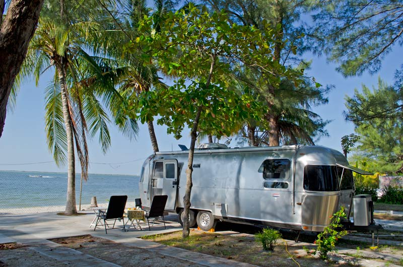
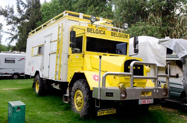
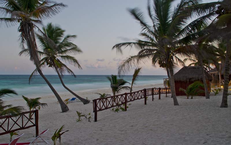
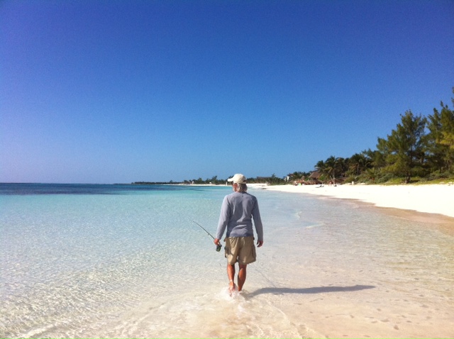
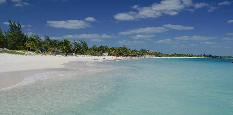
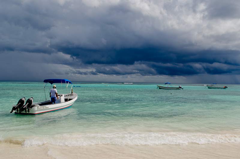
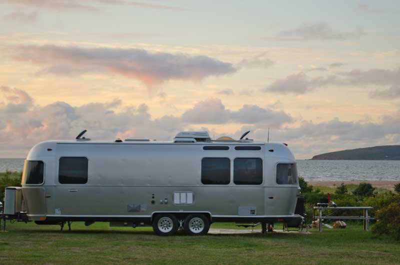
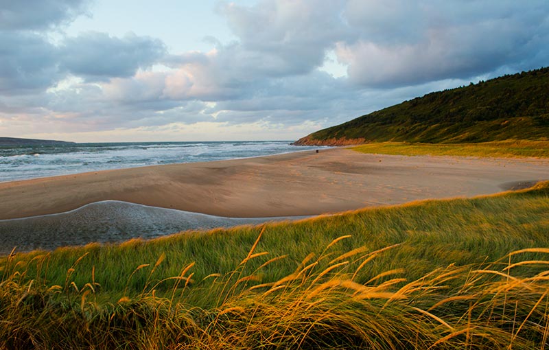
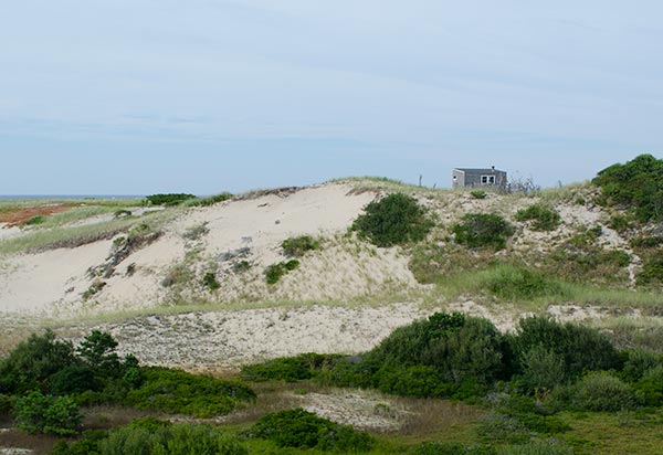
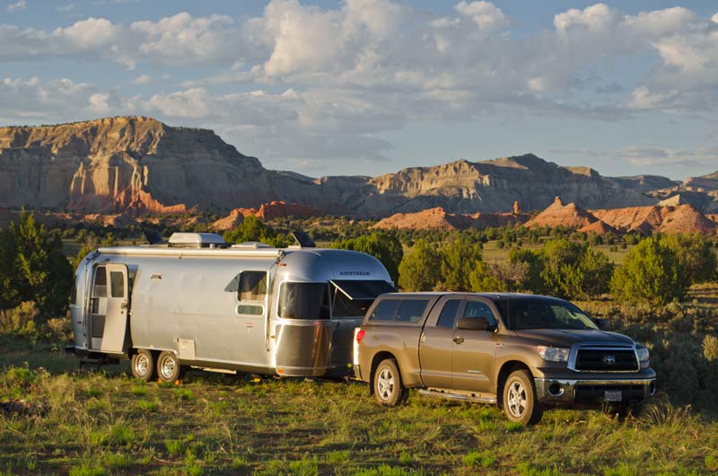
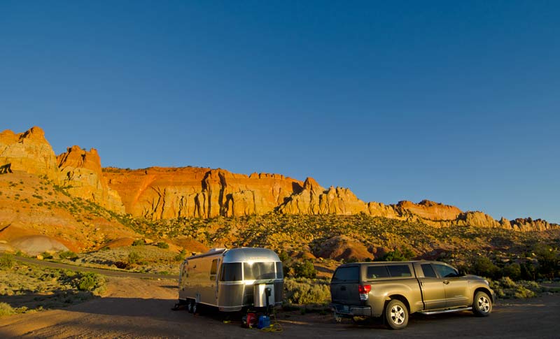
Next up was Grand Staircase Escalante National Monument with its 2 million acres of BLM land. The view from this free spot was incredible (our rig is shown in the first photo).

© 2014 Richard Broadwell

© 2014 Richard Broadwell
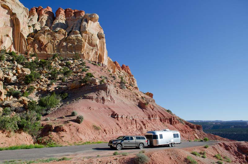
We explored the area on the few dirt roads that traverse it. About 12 miles down Hole in the Rock Road we visited Devils Garden with lots of hoodoos, arches and spires. Further down were various hikes to slot canyons.

© 2014 Richard Broadwell
At the northern edge of Escalante is the Burr Trail Scenic Backway, and yes, we had another great spot all to ourselves.
© 2014 Richard Broadwell
© 2014 Richard Broadwell
The Burr Trail is paved for 30 miles but turns to dirt with tight switchbacks. If you have 4 wheel drive, a small rig, and good weather you could use this route as a short cut to Capital Reef. We unhooked and went just far enough to have a great view of the Capital Reef Waterpocket Fold.

©2014 Richard Broadwell
We went the long way to Capital Reef National Park (on the highway) and stayed at the Fruita campground as the boondocking spots were a bit far away.

© 2014 Richard Broadwell

© 2014 Richard Broadwell
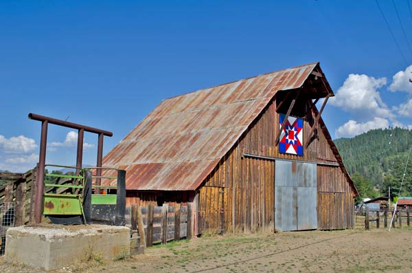
Right outside the campground is the Gifford Homestead barn with this great view!
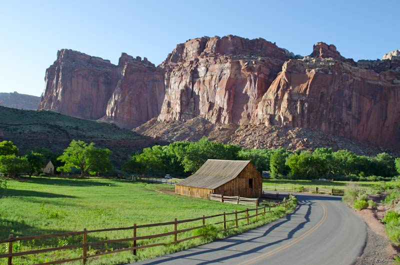
© 2014 Richard Broadwell
From Capital Reef we headed south on Highway 95, the Trail of the Ancients, and using the guide found yet another great free spot!

© 2014 Richard Broadwell
We were right beside the 80 mile long Comb Ridge.

© 2014 Richard Broadwell
This area is teaming with Anasazi ruins and petroglyphs. We hiked about 2 miles round trip to get this shot of the “House on Fire” ruin. You have to get there at about noon for this effect. This site is unmarked and hard to find but of course there were detailed instructions in our guide!

© 2014 Richard Broadwell
From here we headed to Moab, one of our favorite areas.

© 2014 Richard Broadwell
It’s harder to boondock in this popular and crowded area but not impossible. We scouted out a couple of sites from the guide not far from town and they were great. We hit most of the hot spots; Canyonlands National Park, Arches National Park and Dead Horse Point State Park.
Canyonlands National Park – Mesa Arch

© 2014 Richard Broadwell
Delicate Arch – Arches National Park

© 2014 Richard Broadwell
Double Arch – Arches National Park
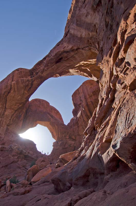
© 2014 Richard Broadwell
We loved the Rock Art.

© 2014 Richard Broadwell
Our favorite was the birthing scene.
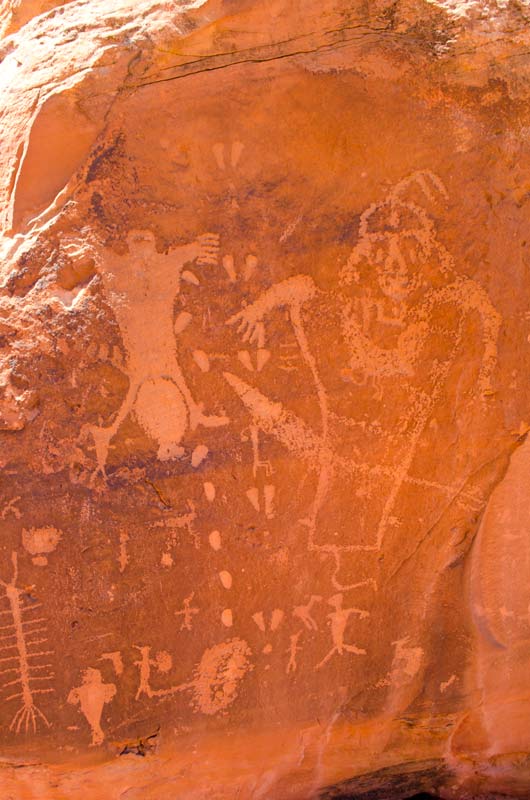
© 2014 Richard Broadwell
There are so many fabulous sites to visit in Southern Utah, and we only did about half of the places detailed in our guide. Ginger would have loved it ):
Speaking of Ginger, I have a question. Should I change the name of the blog or leave it?
Coming up Next – High In The Colorado Rockies